Type "Neal S. Blaisdell Park" into a travel site and you'll read that it's a beach, good for swimming and snorkeling, sand and all. Ask anyone who has actually stood at the water's edge on a Saturday morning and they'll tell you something different: nobody swims there, and most people wouldn't want to. The gap between what the internet says about Pearl City's outdoor spaces and what residents actually do in them is the real story here. It shows up twice, in two places ten minutes apart, and once you see the pattern you start reading every other description of this town a little differently.
Pearl City doesn't have one outdoor identity. It has two, and they contradict each other in interesting ways: a mauka trailhead that behaves nothing like its trail map suggests, and a makai harbor park that gets called a beach by people who have clearly never tried to get in the water there.
The Trailhead That Does Triple Duty
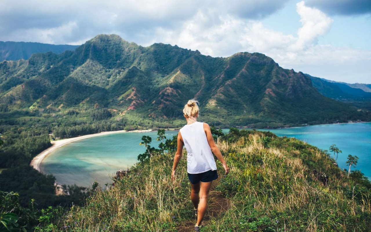
Drive to the very top of Komo Mai Drive, past the last houses in Pacific Palisades, and you'll hit a locked gate and a cul-de-sac where you are explicitly not supposed to park. This single dead end is the trailhead for three different hikes at once: the Mānana Ridge Trail, the Waimano Falls Trail, and ʻIliahi Ridge. Nothing at the road tells you which one you're on until you're already committed, which is exactly why weekend and holiday parking here gets tight fast. The workaround locals rely on is simple: arrive early, because the popularity of Waimano Falls fills the roadside spots quickly, and once they're gone you're parking further down Komo Mai Drive and walking the rest of the way in.
The trail itself starts easy. The first stretch is a paved service road, a little more than four tenths of a mile, that ends abruptly at what longtime hikers call the water tank, officially the Pacific Palisades Reservoir. Past that, pavement gives way to dirt, and the character of the hike changes completely depending on how far you go.
A few practical things worth knowing before you commit a morning to this one:
- Long pants are the standard recommendation once you're past the reservoir. The trail narrows and the brush closes in.
- Rain turns the surface muddy and slippery fast, and that's true even on sections that look dry from the trailhead.
- Camping is allowed further along the ridge with a valid state permit, which tells you how far this trail is meant to go for people who actually finish it.
The First Mile Is Not The Whole Story
Here's where the trail's reputation and its reality split. According to AllTrails, the Mānana Ridge Trail is rated a hard hike, 7.1 miles with 1,374 feet of elevation gain, roughly three and a half to four hours. That's a serious commitment. But most people who park at the top of Komo Mai Drive never hike anywhere close to that distance, because the trail forks after less than a mile.
About nine tenths of a mile in, the Mānana Ridge Trail hits a split for Waimano Falls, and that's typically where most hikers leave the ridge trail behind. The falls are the payoff most people are actually after: a multi level drop with a pool big enough for swimming and, for the more adventurous, cliff jumping. Continue straight instead of veering off for the falls, and you're committing to a genuinely long day, one that stretches toward the Koʻolau Summit and back, a trip some hikers describe taking the better part of ten hours round trip if they're linking ridges.
Two hikers can park at the same gate, walk the same first half mile, and have completely different Saturdays. One turns off for a swim under a waterfall. The other is still climbing three hours later.
That's the nuance a generic trail listing skips. "Hard hike, 7.1 miles" is technically accurate and practically useless if you don't know that the overwhelming majority of foot traffic never gets past that Waimano Falls junction.
Ten Minutes Downhill, A Different Kind Of Open Space
Drive back down out of Pacific Palisades, cross Kamehameha Highway, and you're at Neal S. Blaisdell Park, a stretch of green space fronting Pearl Harbor's East Loch that could not feel more different from the ridge you just left. Where the trail is narrow, overgrown, and steep, Blaisdell Park is wide open: broad grassy fields under mature banyan trees, a paved two way path that runs for miles along the water and doubles as the neighborhood's default jogging and biking route, and outdoor exercise equipment set up for anyone who wants a workout with a harbor view. The park also sits on the Pearl Harbor Historic Trail, linking it by foot or bike to some of the island's most visited historic sites without ever getting in a car.
Worth knowing if you're looking it up ahead of time: some of the park's official listings put its address in Aiea rather than Pearl City, since the boundary line runs close by here. Residents don't split hairs about it. If you live in Pearl City, Blaisdell is the waterfront green space in your rotation regardless of which zip code the mailing address technically falls under.
What The Beach Listings Don't Show You
This is where the park's description and its reality diverge the same way the trail's mileage did. Some travel sites describe Blaisdell as a beach outright, complete with swimming and snorkeling as listed activities. Spend any time actually reading what visitors say about being there and a very different picture forms: this is Pearl Harbor, not the open ocean, and the general consensus among people who've actually tried is that you don't want to be in that water. One recurring piece of advice for anyone hoping to swim is simple: go somewhere else, because this isn't that kind of park.
What Blaisdell is actually good for lines up with what's already there. The path is built for biking and running, not lounging on sand. The shaded picnic areas and the playground are built for family gatherings, not beach days. Fishing happens along the water's edge for people who don't mind Pearl Harbor's water quality questions, but it's a niche activity, not the headline. The honest version of this park is a waterfront jogging path with excellent shade and a genuinely peaceful view at sunset, not a swimming beach that happens to have a harbor view.
Why The Mismatch Actually Matters
Put these two places side by side and a pattern emerges that says something real about how this neighborhood works. Pearl City's outdoor spaces get described in shorthand that flattens what they actually offer. A trail gets summarized by its hardest possible version, when most people who use it regularly stop well short of that. A park gets labeled a beach because it touches water, when the actual daily use is running, biking, and picnicking under the banyans. Neither description is dishonest exactly. Both are just written by someone summarizing from a distance rather than from having actually spent a Saturday there.
The residents who get the most out of this stretch of central Oʻahu aren't the ones following the generic listing. They're the ones who know the trailhead forks after less than a mile, that the park with the water view isn't for swimming, and that the two spaces bookend a weekend that has almost nothing in common between its first half and its second. That's the actual rhythm of a Pearl City Saturday: steep trail in the morning, flat harbor path by the water in the afternoon, and neither one behaving quite the way its online description promised.
If you're already living this rhythm and find yourself thinking about what comes next for your home here, whether that's a question about your property's value in this stretch of central Oʻahu or just wanting a second opinion from someone who knows these streets block by block, Alesia Barnes is always glad to talk it through. Let's Connect.